Winter Warmup Coming Mid-Week
DETROIT (WWJ) - It will seem like a heat-wave compared to the freezing temperatures we've had to endure recently. Metro Detroit will be looking at temperatures in the 40s to possibly into the 50s by Wednesday or Thursday.
A dramatic warm-up is slated to grip a vast area from the Plains to the Eastern Seaboard this week, especially from mid to late week. This much-anticipated blast of milder air will lead to disappearing snow cover for many cities and towns.
Major Midwestern cities like Chicago and Detroit will have temperatures rise into the 50s, while St. Louis will hit the 60s. While widespread flooding is not expected, minor flooding can occur in some communities from the lower Midwest to southern New England.
It'll be even warmer, reaching the 70s and 80s, across the southern Plains where the core of warmth will be anchored. People will be digging for shorts and flip-flops less than two weeks after they were reaching for snow shovels in some areas.
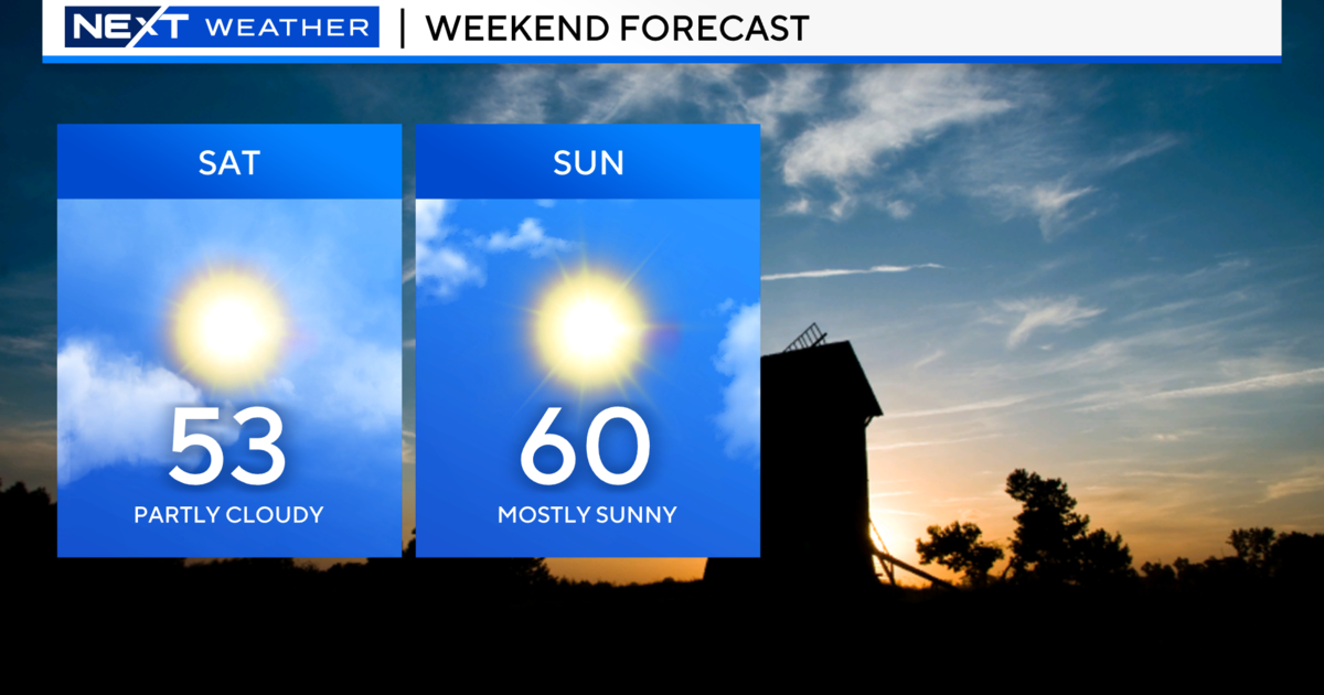
Here's this week's Forecast for Metro Detroit:
Monday Night - Mostly clear. Lows 13 to 17. Northwest winds 5 to 15 mph, becoming light and variable.
Tuesday - Mostly sunny. Highs 36 to 40. Light and variable winds, becoming southeast 5 to 10 mph. Mostly clear during the evening. Lows 30 to 34.
Wednesday - Mostly cloudy through mid morning, then becoming partly sunny. Highs 47 to 51. A chance of light rain at night. Lows 40 to 44.
Thursday - Mostly cloudy. A chance of rain. Highs 52 to 56. A chance of rain at night. Lows 47 to 51.
Friday - Mostly cloudy. A chance of rain. Highs 50 to 54. Chance of rain 40 percent. A chance of snow showers at night. Lows 24 to 28
Find the latest forecast on our Weather Page; check out the latest in traffic here.