Metro Detroit Drying Out Ahead Of Sunny Weekend
SOUTHFIELD (WWJ) - It was another soggy morning drive for the second straight day. Heavy downpours were to blame for flooding across the region, although, later in the morning, most of the water had receded.
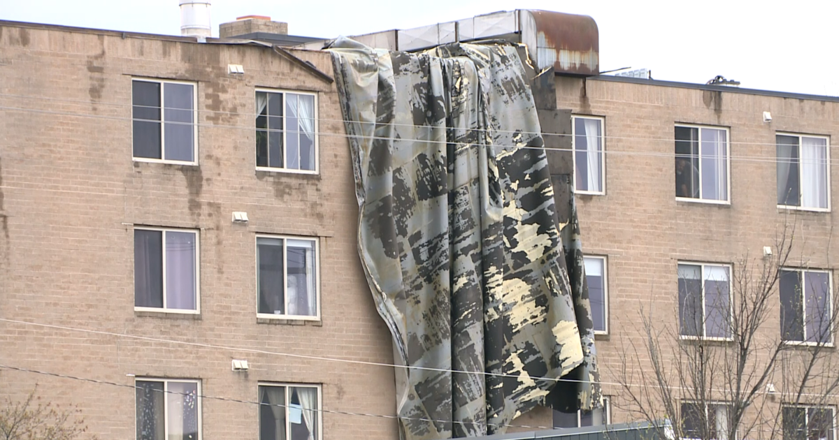
Thursday's blast of storms knocked out power to more DTE Energy customers overnight. A DTE spokesman said about 17,000 homes and businesses were still in the dark early Friday afternoon. The outages were widely scattered.
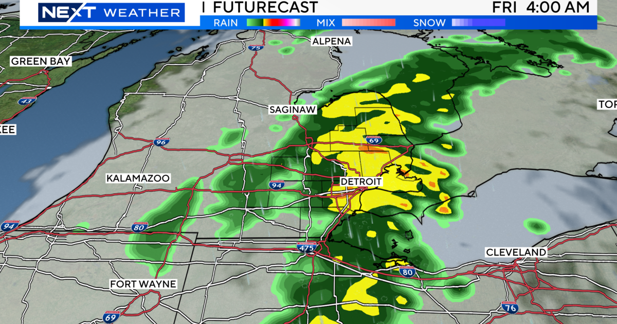
Although some areas of southeast Michigan could still get a sprinkle or two, AccuWeather Meteorologist Dr. Joe Sobel said the atmosphere will be drying out, and sunshine will return Friday afternoon with temperatures reaching into the upper 80's.
Sobel said the weekend will be hot, but a bit less humid, and partly sunny with a high of 89 and Saturday, and the upper 80's to near 90 degrees on Sunday.
Here's the forecast from the WWJ Weather Team:
Friday - Becoming partly sunny. Scattered light showers...ending around 2 PM. Highs 86 to 90. West winds 5 to 10 mph.
Friday Night - Partly cloudy during the evening. Clear overnight. Lows 66 to 70. Northwest winds 5 to 10 mph...becoming light and variable late.
Saturday - Mostly sunny. Highs 88 to 92. Light and variable winds...becoming northwest 5 to 10 mph.
Saturday Night - Mostly clear. Lows 68 to 72. Light and variable winds.
Sunday - Mostly sunny. Highs 88 to 92. Light and variable winds...becoming southwest 5 to 10 mph...then turning to west late.
Sunday Night - Mostly clear early...then becoming partly cloudy. A chance of showers and thunderstorms. Lows 69 to 73. Chance of rain 30 percent.
For the latest forecast, keep it tuned to WWJ Newsradio 950 for Traffic and Weather, every 10 minutes on the 8s. Check out next week's forecast or have a look at the local radar on our weather page.