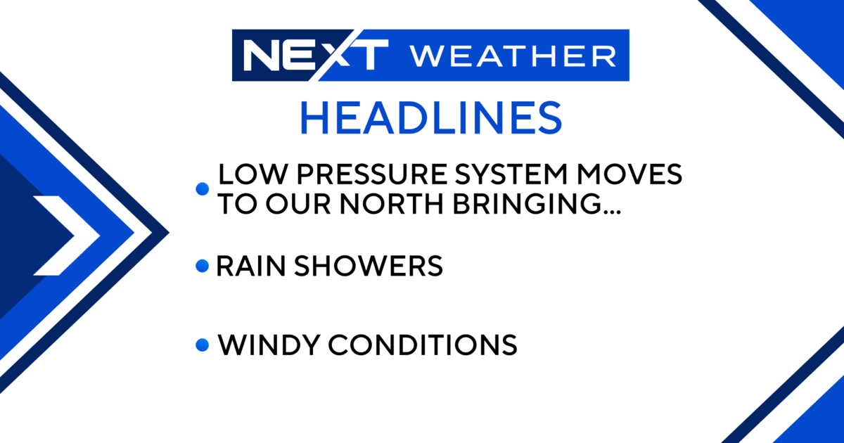
Wet Weather Moving In Overnight
DETROIT (WWJ) - It could start to get a little stormy, as the National Weather Service says an unstable airmass will invade the state overnight Tuesday and Wednesday, causing heavy downfall and windy gusts.
While severe weather is not expected, flooding may cause concern as heavy rainfall rates are possible.
The potential for a second round of showers and thunderstorms will exsist late Wednesday afternoon and evening as well. This activity is expected to develop ahead of an approaching cold front. The National Weather Service says potential exsists for widespread severe weather during this timeframe.
Forecast Details from the Weather Team:
Tuesday - Mostly sunny. Highs 81 to 85. Light and variable winds...becoming southwest 5 to 10 mph...then turning to south late.
Tuesday Night - Showers and thunderstorms likely...heavy rainfall possible. Lows 63 to 67. South winds 10 to 15 mph. Chance of rain 60 percent.
Wednesday - Mostly cloudy through mid morning...then becoming partly sunny. Breezy. A chance of showers and thunderstorms during the afternoon. Highs 84 to 88...with a heat index around 90. Southwest winds 10 to 15 mph...increasing to 15 to 25 mph. Chance of rain 50 percent.
Wednesday Night - Partly cloudy...becoming mostly clear toward daybreak. A chance of showers and thunderstorms mainly before midnight. Lows 63 to 67. Southwest winds 10 to 20 mph...becoming west 5 to 10 mph. Chance of rain 50 percent.
Thursday - Mostly sunny. Highs 77 to 81.
Thursday Night - Mostly clear. Lows 58 to 62.
For the latest, keep it tuned to WWJ Newsradio 950 for Traffic and Weather, every 10 minutes on the 8s. Visit our weather page.