Classes, Activities Canceled As Winter Storm Moves In
DETROIT (WWJ) - Southeast Michigan school administrators have their eyes on the skies as a winter storm continues to move across the state.
Metro Detroit was hit with a mixed bag of precipitation, with rain, hail and sleet, beginning early in the afternoon.
DTE Energy reported it has about 15,000 customers without power as of 11:50 p.m. Tuesday night. Most of those are in Washtenaw County. DTE says they have numerous power lines down. Crews will be working through the night to restore power. (Find DTE link - HERE)
Accuweather's Carl Erickson reported at 8:28 p.m.:
"Still mixed at times with sleet and even some rain especially the further south on I-75, you may be more inclined to hit some of that rain," said Erickson. "Going over to mostly snow here as we go through tonight, 3-6 inches in and around the city and points north, with 1-3 inches further south you head as there will be more rain mixed in."
Erickson says he expects about an inch or so of snow Tuesday afternoon as well.
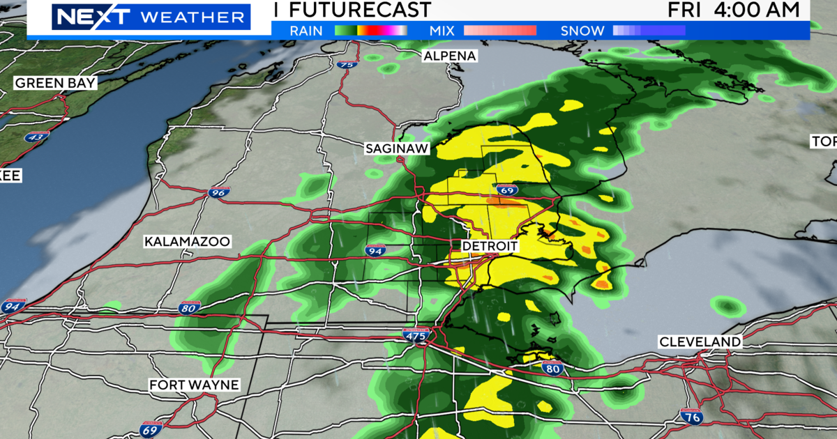
The National Weather Service has issued a winter weather advisory for southern Michigan, in effect from 3 p.m. Tuesday until noon Wednesday -- with up to 6 inches of snowfall expected.
The Detroit Public Schools was one of several local districts and other academic organizations canceling evening activities Wednesday in anticipation of the storm.
Evening classes were canceled at Wayne State University because of the deteriorating weather conditions. This includes extension centers. The university will re-open on Wednesday, weather permitting. The the University of Michigan Flint campus canceled evening. classes as well,
- COMPLETE SCHOOL CLOSINGS LIST HERE -
Snow emergencies have been declared in Mount Clemens, beginning at 4 p.m. and Southgate, beginning at 6 p.m. A snow emergency means residents need to move their cars off city streets. If the cars are not moved, the car could be towed and/or the owner could be ticketed.
TRAFFIC MAP – LIVE RADAR – FLIGHT TRACKER
CBS 62 Chief Meteorologist Jim Madaus said the slushy rain and sleet would change over to mostly heavy snow -- with three to six inches of accumulation possible in metro Detroit by the early morning hours Wednesday.
Madaus said the storm, moving west to east across the state, with areas north of Detroit seeing the worst of it. The Thumb region could see up to 8 inches, and norther Oakland County/Rochester Hills area could see 3-5 by morning.
Officials are urging motorists to use caution as the snowfall is expected to continue into the morning.
Snow accumulations and poor visibilities will lead to hazardous travel conditions beginning during the Tuesday evening rush hour. Snow could fall as fast as one inch-an-hour, and blowing a drifting snow could cause problems on the roadways.
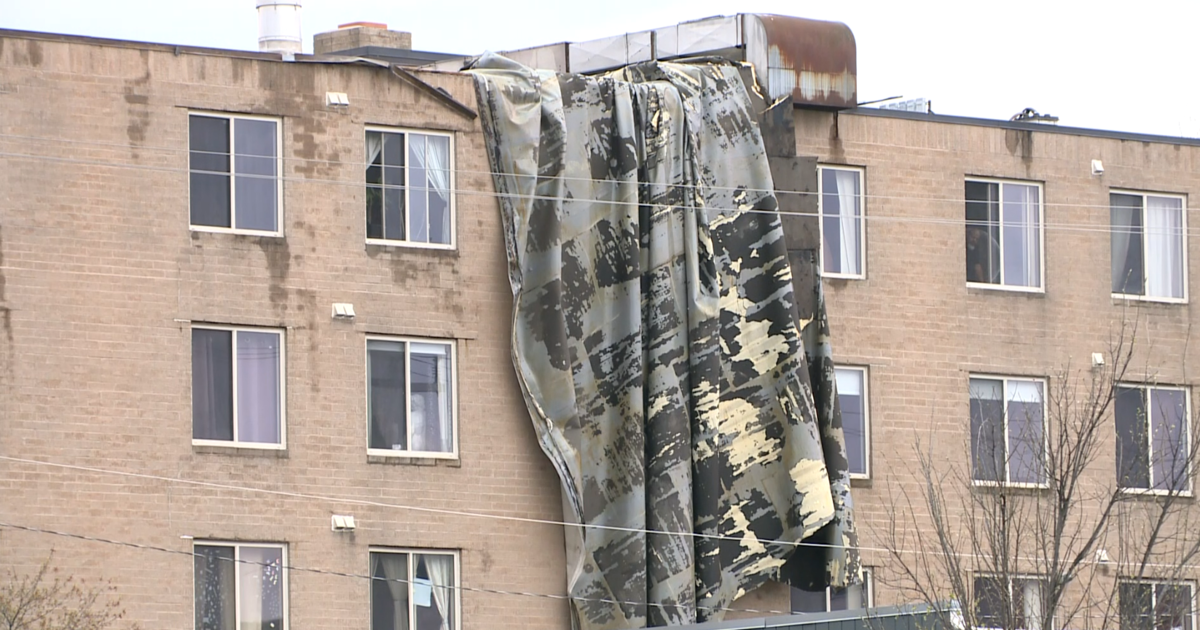
The heavy, wet snow will put stress on trees and power lines, potentially causing some power outages.
Know before you go: Keep it tuned to WWJ Newsradio 950 for traffic and weather, every 10 minutes on the 8s.
Here's the forecast from the CBS Detroit Weather Team:
Tuesday — Overcast with snow in the afternoon, then snow and a chance of rain after midnight. Breezy. Winds from the ENE at 20 to 25 mph. Chance of snow 90% with accumulations up to 3 in. possible. High of 36F, low of 32F with a windchill as low as 16F.
Wednesday – Overcast with snow and rain, then a chance of snow and rain showers in the afternoon. Winds from the ENE at 5 to 15 mph. Chance of snow 80% with accumulations up to 1 in. possible. High of 37F, low of 30F with a windchill as low as 19F.
Thursday — Overcast and breezy. Winds from the North at 15 to 20 mph. High f 36F, low of 27F with a windchill as low as 18F.
Sign up for severe weather text alerts: Text STORM to 95001
For daily weather forecast text alerts: Text FORECAST to 95001
MORE: Delta Airlines Issues Winter Weather Waivers For Midwest Travelers