Heat Advisory In Effect Wednesday & Thursday
DETROIT (WWJ) - It's going to be a hot one.
The National Weather Service issued a heat advisory which is in effect for all of Southeast Michigan through midnight Thursday.
A heat advisory means that a period of hot temperatures is expected. In this case, forecasters say highs in the 90s will feel over 100 degrees in Oakland, Macomb, Washtenaw, Wayne, Lenawee, Monroe, Midland, Bay, Saginaw, Tuscola, Shiawassee, Genesee, Lapeer and Livingston counties.
Heat indices of up to 102 degrees are possible during the peak hours — from roughly 2 p.m. til 7 p.m. each day.
The National Weather Service says the hot temperatures and high humidity will combine to create a situation in which heat illnesses are more common. Heat stroke, heat exhaustion, muscle cramps and sun burns are possible in cases where no protective action is taken.
Officials suggest that metro Detroiters drink plenty of fluids, stay out of the sun, and stay in air-conditioned buildings whenever possible. Children and pets should never be left in vehicles under any circumstances.
Doctors say symptoms like an inability to perspire, confusion and dizziness should be warning signs that you need to go somewhere cool to rest and rehydrate.
This advice is especially important for senior citizens and others at high risk for heat illness — including those with diabetes, cardiovascular disease, and respiratory disorders.
That's according to Marsha Koet, a senior service specialist at the William Costick Activity Center in Farmington Hills, who recommends to everyone — especially senior citizens: "If you really wanna get out and do something, do it early in the morning or later in the evening, but really consider drinking extra water."
Koet said pop and other sugary drinks should be avoided; and, for seniors who don't have air conditioning, the use of fans and window shades to block out the sun is advised.
Koet urges metro Detroiters to check on older relatives, friends and neighbors to make sure they're OK, too.
THIS WEEK'S FORECAST:
WEDNESDAY: Partly cloudy. High of 93F. Low of 73F. Chance of a thunderstorm and rain in the evening, then clear. Winds from the West at 5 to 15 mph.
THURSDAY: Partly cloudy in the morning, then overcast. High of 90F. Low of 73. Overcast with a chance of a thunderstorm and rain in the evening, then mostly cloudy. Winds from the WSW at 5 to 10 mph.
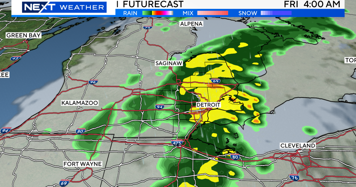
FRIDAY: Partly cloudy with a chance of a thunderstorm and rain. High of 88F with a heat index of 93F. Low of 72F. Chance of rain 40% during the day; 50 % in the evening. Breezy. Winds from the WSW at 10 to 20 mph.
COOLING CENTER INFORMATION:
Wednesday the Kulick Center in Ferndale will be open from 9:30 a.m until 8 p.m.
Washtenaw County is also offering space for residents to cool off during business hours. The County Human Services building will be open until 5 p.m. with bottled water for residents who need it.
[See the weekend forecast here]
Keep it tuned to WWJ Newsradio 950 for the latest weather alerts and the most up-to-the-minute forecast, every 10 minutes on the 8s. Check the CBS Detroit weather page for live, local radar and the extended forecast anytime.
Sign up for severe weather text alerts: Text STORM to 95001
For daily weather forecast text alerts: Text FORECAST to 95001