Winter Storm Watch: 4 To 8 Inches Of Snow Coming To Metro Detroit
DETROIT (WWJ) - Better keep the flip-flops put away. More snow — up to eight inches of it — is on its way to Southeast Michigan this week.
After a relatively beautiful Monday, Tuesday night and Wednesday could be a cold, white mess.
The National Weather Service has issued a Winter Storm Watch in effect from late Tuesday night through Wednesday afternoon for all of Southeast Michigan.
WWJ AccuWeather Meteorologist Bob Larson says rain developing later Tuesday will turn to snow overnight. The snow may be heavy at times in metro Detroit Wednesday morning, possibly accumulating at rates of an inch per hour, and is expected continue into Wednesday afternoon.
"It looks like a very messy Wednesday morning commute as the snow accumulates," Larson said.
The highest accumulations are expected south of Detroit to the Ann Arbor line. Areas in the southern Lower Peninsula near Ohio and Indiana could see as much as six to eight inches.
"The snow will taper to flurries Wednesday afternoon, but it will be windy and very cold with temperatures steady in the 20s," Larson added Northerly wind gusts over 30 mph are possible Wednesday; which could cause some blowing and drifting of the snow.
Some good news: It is expected to warm back up a bit later in the week, with temperatures creeping back up into the 40s on Friday.
Here's the complete forecast from the CBSDetroit weather team:
Tuesday: Cloudy skies. High 47F. Winds W at 5 to 10 mph.
Tuesday Night: Showers in the evening changing over to snow overnight. Low around 30F. Winds NNE at 10 to 20 mph. Chance of precipitation 90%. 1 to 3 inches of snow expected.
Wednesday: Snow during the morning will become lighter during the afternoon. Morning high of 30F with temps falling to near 20. Winds N at 25 to 35 mph. Chance of snow 90%. Snow accumulating 3 to 5 inches.
Wednesday Night: Partly cloudy. Low 4F. Winds NNW at 15 to 25 mph.
Thursday: Partly cloudy skies. High 23F. Winds W at 10 to 15 mph.
Thursday Night: Partly cloudy. Low 16F. Winds SSW at 10 to 15 mph.
Friday: Partly cloudy. High 46F. Winds SSW at 15 to 25 mph.
Friday Night: A few clouds. Low 31F. Winds WSW at 10 to 20 mph.
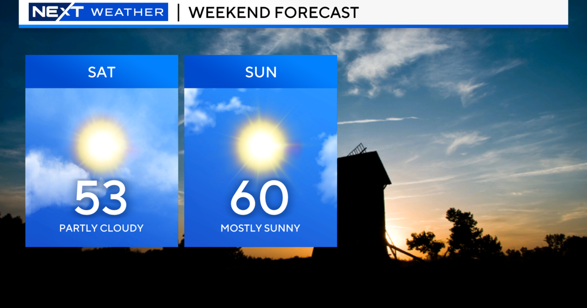
Saturday: Intervals of clouds and sunshine. High around 40F. Winds WNW at 10 to 15 mph.
Saturday Night: Partly cloudy. Low 24F. Winds NW at 10 to 15 mph.
Know before you go: Keep it tuned to WWJ Newsradio 950 for the latest forecast during traffic and weather, every 10 minutes on the 8s. See the live, local radar now at this link.
Sign up for severe weather text alerts: Text STORM to 95001
For daily weather forecast text alerts: Text FORECAST to 95001