Scattered Storms Dot Metro Detroit Area With Power Outages, Damage
DETROIT (WWJ) - Showers and thunderstorms rolled into the Metro Detroit area Tuesday night leaving pockets of power outages and downed trees.
DTE Energy has about 1,500 customers without power north of Waterford. Some residents in the area said they saw a bolt of lightning hit a transformer near a Meijer's Store on Lapeer Road in Oxford.
Oakland County Sheriff's Department said they had a couple of calls of downed wires.
While there was an early evening thunderstorm warning in Livingston County - the Sheriff's Department said they don't release storm damage information.
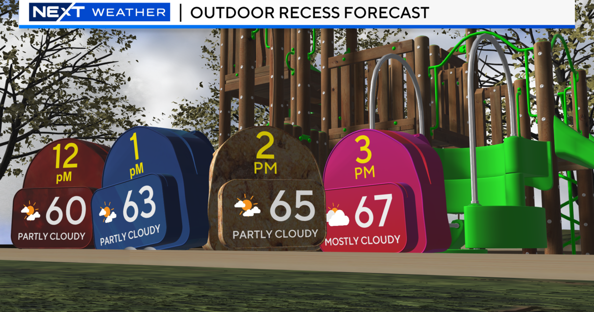
WWJ AccuWeather Meteorologist Dr. Joe Sobel says Wednesday it will be cloudy, breezy and warm in metro Detroit — and gives a reminder to keep your umbrella handy. Sobel said he won't rule out another thunderstorm and some more rain is likely. Then things will cool down a bit for the remainder of the week.
Highs Thursday, Friday, and Saturday may not reach out of the 50s, with limited sun and a shower possible.
Here's the extended forecast from the CBS Detroit weather team:
Wednesday: Rain ending early. Breaks of sun in the afternoon. High 68F. Winds SSE at 10 to 15 mph. Chance of rain 60%.
Wednesday Night: A few clouds. Low 47F. Winds SW at 5 to 10 mph.
Thursday: Intervals of clouds and sunshine in the morning with more clouds for later in the day. High 54F. Winds SW at 15 to 25 mph.
Thursday Night: Showers in the evening, then cloudy overnight. Low around 45F. Winds WSW at 10 to 20 mph. Chance of rain 30%.
Friday: Cloudy. High 54F. Winds W at 10 to 20 mph.
Friday Night: Cloudy skies early, then partly cloudy after midnight. Low 43F. Winds SW at 10 to 15 mph.
Saturday: Drizzle and fog early; then cloudy with showers in the afternoon. High near 60F. Winds SW at 10 to 20 mph. Chance of rain 40%.
Saturday Night: Light rain early. Clearing late. Low 42F. Winds W at 10 to 20 mph. Chance of rain 70%.
Sunday: Sunny, along with a few afternoon clouds. High around 60F. Winds W at 10 to 20 mph.
Sunday Night: A few clouds from time to time. Low 41F. Winds NW at 10 to 20 mph.
Know before you go: Keep it tuned to WWJ Newsradio 950 for the latest forecast during traffic and weather, every 10 minutes on the 8s. See the live, local radar now at this link.
Sign up for severe weather text alerts: Text STORM to 95001
For daily weather forecast text alerts: Text FORECAST to 95001