Polar Vortex To Bring Unseasonably Cold Weather Wednesday
DETROIT (WWJ) - Remember that pesky Polar Vortex? It's coming back — soon.
AccuWeather says Michigan and nearly every state will be unseasonably cold on Wednesday as the Polar Vortex drifts south from its usual perch over the Arctic.
After a pretty mild day on tap for Tuesday, with a high of 58, AccuWeather Meteorologist Dave Bowers says: "That's it! After that point it'll feel like winter."
Bowers says it'll be breezy with temperatures in the 30s most of the day Wednesday. Thursday will be another breezy day with a couple of snow showers possible, and the high will only get up to around 38 degrees both Thursday and Friday.
Meantime, in the Upper Peninsula, it'll already look like a winter wonderland.
Jim Salzwedel, with the Marquette branch of the National Weather Service, said heavy snow, blowing and drifting is likely through Wednesday.
"We are expecting, through Tuesday anyway, snowfall amounts in excess of one foot over much of the west half of upper Michigan, and greater than two feet in some sections of north center and western upper Michigan as things wind down through Wednesday," Salzwedel with said.
To a lesser degree, the northern Lower Peninsula is also snow, changing over to rain and sleet.
Most Michiganders, like Snowbird Sharon Sisnowski of Brighton, have vivid memories of last winter.
"I got up and it was like 49 or something in Datona Beach, and I thought,'What am I doing here?'" she told WWJ. "I found out it was 14 below in Brighton, so it didn't matter."
Sisnowski's husband Harry says he thinks the whole term Polar Vortex is overblown, although he admits the couple will be heading back to Florida for the winter in a couple of weeks.
Mary, who was out shopping at 12 Oaks Mall Monday afternoon, said she doesn't think this winter will be that bad.
"It's a beautiful day today! At my age you just take one day at a time," she said.
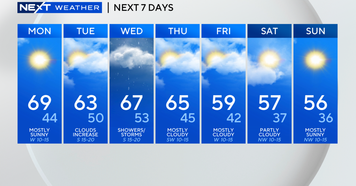
Here's the detailed forecast from the CBS Detroit weather team:
Tuesday: Partly cloudy early followed by some light rain later in the day. High 59F. Winds SSW at 10 to 20 mph. Chance of rain 70%.
Tuesday Night: A shower is possible early. Cloudy skies early, then partly cloudy after midnight. Low 34F. Winds W at 10 to 20 mph.
Wednesday: Intervals of clouds and sunshine. High 39F. Winds W at 10 to 20 mph.
Wednesday Night: A few clouds. Low 27F. Winds W at 10 to 15 mph.
Thursday: Flurries and a few snow showers throughout the day. High 38F. Winds W at 10 to 15 mph. Chance of snow 30%.
Thursday Night: A mostly clear sky. Low 27F. Winds W at 10 to 15 mph.
Friday: A mix of clouds and sun in the morning followed by cloudy skies during the afternoon. High 38F. Winds WNW at 10 to 20 mph.
Friday Night: Some clouds early will give way to generally clear conditions overnight. Low around 25F. Winds W at 5 to 10 mph.
[Check the weekend forecast HERE].
Know before you go: Keep it tuned to WWJ Newsradio 950 for the latest forecast during traffic and weather, every 10 minutes on the 8s. See the live, local radar now at this link.
Sign up for severe weather text alerts: Text STORM to 95001
For daily weather forecast text alerts: Text FORECAST to 95001