Bitter Cold Settles In With More Snow On The Way To Metro Detroit
SOUTHFIELD (WWJ) - It's going to be a very cold day in metro Detroit.
"It is bitter cold outside and it will stay that way, so bundle up. It's definitely a cold, winter-like day here in metro Detroit," said CBS 62 Chief Meteorologist Jim Madaus.
Forecasters say numerous snow showers will continue to move across the region throughout the morning, increasing in intensity with up to four inches by the afternoon. The heaviest snow is expected to fall between 6 and 10 a.m.
Winter Weather Advisory for Oakland, Livingston and Washtenaw county, expired at noon on Tuesday.
Temperatures are expected to be in the 20s Tuesday, but with the wind chill and gusts near 30 mph, it will feel more like zero degrees.
The outlook for Wednesday is just as cold.
"We've got another system coming our way, with a large area of snow about 10 or 11 o'clock (a.m.) that will be in our backyard, bringing us about one to two inches of snow Wednesday," Madaus said.
AccuWeather says untreated roads could become snow-covered and hazardous Tuesday and Wednesday, especially between the I-69 and I-94 corridors, centering along I-96 and M-59.
Thursday should be relatively snow-free, but it's still going to be very cold.
"We'll stay in the deep freeze through Friday and then jump into the 30s on Saturday and 40s Sunday and Monday," Madaus said. "As a matter of fact, when we hit the 40s, that's back to normal."
A Winter Weather Advisory means periods of snow and blowing snow will cause travel difficulties. Be prepared for slippery roads and limited visibilities, and use caution while driving.
Here's the local forecast from the CBS Detroit weather team:
Tuesday: Windy with occasional snow showers. High 23F. Winds WSW at 25 to 35 mph. Chance of snow 60%.
Tuesday Night: Partly cloudy. Windy. A few flurries are possible. Low 16F. Winds SW at 20 to 30 mph.
Wednesday: Snow. Winds will increase during the afternoon. High 33F. Winds SSW at 20 to 30 mph. Chance of snow 80%. 1 to 3 inches of snow expected.
Wednesday Night: Mostly cloudy with snow showers during the evening. Low 21F. Winds WSW at 15 to 25 mph. Chance of snow 50%.
Thursday: Mostly cloudy skies. High 26F. Winds W at 15 to 25 mph.
Thursday Night: Partly cloudy skies. Low 16F. Winds W at 10 to 20 mph.
Friday: A mainly sunny sky. High 31F. Winds WSW at 5 to 10 mph.
Friday Night: Partly cloudy skies during the evening will give way to cloudy skies overnight. Low 22F. Winds S at 5 to 10 mph.
Saturday: Cloudy skies. High 42F. Winds SSW at 10 to 20 mph.
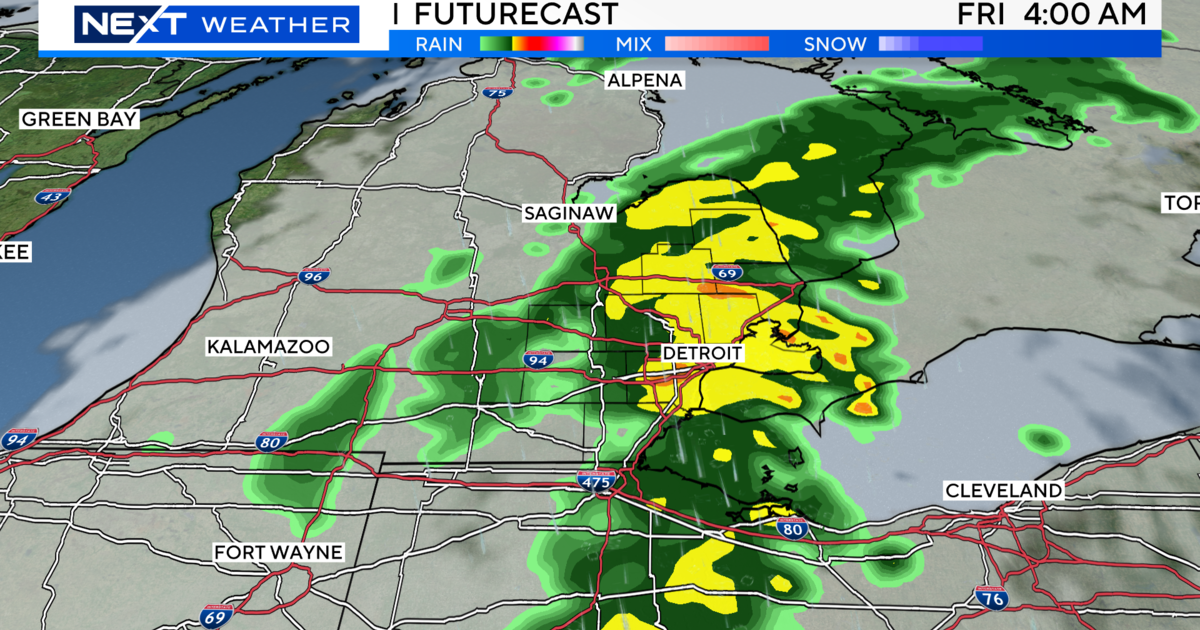
Saturday Night: Light rain early...then remaining cloudy with showers late. Low 39F. Winds SSW at 10 to 20 mph. Chance of rain 70%.
Know before you go: Keep it tuned to WWJ Newsradio 950 for the latest forecast during traffic and weather, every 10 minutes on the 8s. See the live, local radar now at this link.
Sign up for severe weather text alerts: Text STORM to 95001
For daily weather forecast text alerts: Text FORECAST to 95001