Michigan Suffers Snowy Spring Cold Snap — But How Long Will It Last?
DETROIT (WWJ) - Balmy one weekend, frigid the next. After it felt a lot more like winter than spring Saturday and Sunday in metro Detroit— forecasters say there's still more cold and snow on the way.
Some parts of Michigan were left whitened as an early spring storm moved across the state over the weekend. Several inches fell in parts of western Michigan and Up North, while the Detroit area got a dusting making roads slick.
Snow Days were called in Bay and Arenac counties in Mid-Michigan on Monday, where freezing fog was also a problem — extending spring break for students in some cases.
While unwelcome, such weather isn't too out of the ordinary for early April in Michigan, according to Mark Torregrossa, Chief Meteorologist for MLive.com.
"Spring is one of your most volatile months, because you have spring/summer temperatures to the south of Michigan and winter temperatures to the north," Torregrossa told WWJ Newsradio 950. "And that's what it is: We're on the dividing line right now, which puts Michigan in the storm track."
The National Weather Service says another system due to hit the state this week will bring more snow. And it looks like, Torregrossa said, metro Detroit will be stuck in a colder-than-normal pattern for the next 10 or so days.
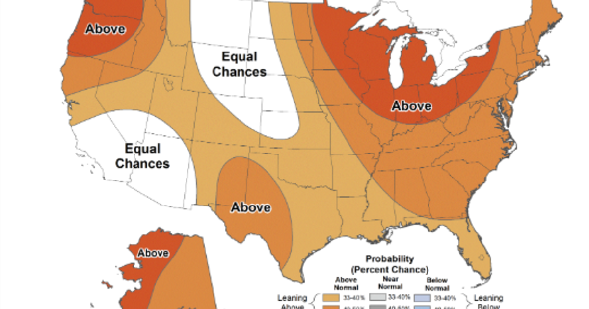
"Suggestions from data show that once this kind of cold funk works off, then we will go into a normal to warmer-than-normal pattern for the second half of April," he said. "But for the next 10 days it pretty much is going to feel more like winter than it will spring."
Here's this week's forecast from the CBS Detroit weather team:
Tuesday: Sunny. High near 40F. Winds W at 5 to 10 mph.
Tuesday Night: Partly cloudy in the evening followed by periods of snow showers after midnight. Some sleet may mix in. Low 29F. Winds SSE at 10 to 20 mph. Chance of snow 50%. Snow accumulations less than one inch.
Wednesday: Cloudy with rain and snow showers in the morning. Becoming windy with the mix changing to all rain in the afternoon. High 53F. Winds S at 20 to 30 mph. Chance of rain 90%. Winds could occasionally gust over 40 mph.
Wednesday Night: Rain early, them cloudy with showers and/or snow mix late. Low 34F. Winds WNW at 15 to 25 mph. Chance of rain/snow 90%.
Thursday: Morning snow showers will turn to rain by late day. High 41F. Winds NNW at 10 to 20 mph. Chance of rain 40%.
Thursday Night: Snow showers before midnight, turning partly cloudy later. Low 26F. Winds NNW at 10 to 15 mph.
Chance of snow 40%.
Friday: Overcast. A few flurries or snow showers possible. High 34F. Winds NNW at 10 to 20 mph.
Friday Night: Cloudy skies, then partly cloudy late. Flurries or snow showers possible. Low 22F. Winds N at 10 to 15 mph.
Saturday: Sunshine and clouds mixed. High 37F. Winds NNW at 10 to 20 mph.
Saturday Night: A mostly clear sky. Low 24F. Winds NW at 10 to 15 mph.
Sunday: Sunshine with some clouds as times. High near 50F. Winds SW at 10 to 20 mph.
Sunday Night: Partly cloudy skies. Low 39F. Winds SW at 10 to 15 mph. 20% chance of rain.
Know before you go: Keep it tuned to WWJ Newsradio 950 for the latest forecast during traffic and weather, every 10 minutes on the 8s. See the live, local radar now at this link.
Sign up for severe weather text alerts: Text STORM to 95001
For daily weather forecast text alerts: Text FORECAST to 95001
TM and © Copyright 2016 CBS Radio Inc. and its relevant subsidiaries. CBS RADIO and EYE Logo TM and Copyright 2016 CBS Broadcasting Inc. Used under license. All Rights Reserved. This material may not be published, broadcast, rewritten, or redistributed. The Associated Press contributed to this report.