Michigan Feels Effects Of Hurricane Sandy
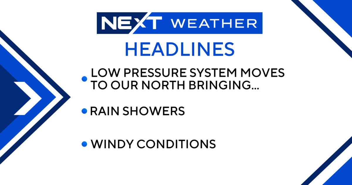
DETROIT (WWJ/AP) - Forecasters are expecting winds may reach up to 50 miles an hour in Metro Detroit as a result of Hurricane Sandy on the east coast.
The National Weather Service issued a wind advisory in Southeast Michigan, in effect from Noon Monday til 5 p.m. Tuesday.
Forecasters say winds are expected to increase to 20 to 30 miles-per-hour Monday afternoon with gusts of 40 to 50 mph expected. These strong winds are expected to persist through the night and into Tuesday afternoon. (More on the wind advisory, here).
Meantime, officials at DTE Energy said high winds could cause power outages in Michigan and they're keeping an eye on the weather to respond to any power problems for its 2.1 million customers.
"We are monitoring closely," DTE's Len Singer told WWJ Newsradio 950's Beth Fisher. "We have all of our crews on standby. We are ready to respond to problems as they occur.
Singer said they have released 100 contract linemen to head to the east coast to help with any power restoration that's needed there from the hurricane, but, before they let any others go, Singer said they want to see what kind of effect the storm will have on customers here.
Flights from Detroit Metro to the northeast were canceled as Hurricane Sandy continued to move at a 90 mile per hour clip. The combination superstorm could menace some 50 million people in the most heavily populated corridor in the nation.
Native Metro Detroiters now living on the east coast were hunkering down.
In Brooklyn, New York, Mike West ran out to stock up on cat food, just in case. "All of the delis are open ... seems like everything else is closed. Seems like the wind is all at ground level," said West, Monday morning.
Just outside of Boston, Melissa Gill said her grandmother back in Michigan would be happy to know ... "I have bottled water, batteries, laundry done and brownies baked, wine chilled. I'm prepared as I'm gonna be for Sandy!"
Talking to WWJ Monday afternoon, University of Michigan Professor of Atmospheric Sciences Perry Samson said the many factors in play here can cause great havoc.
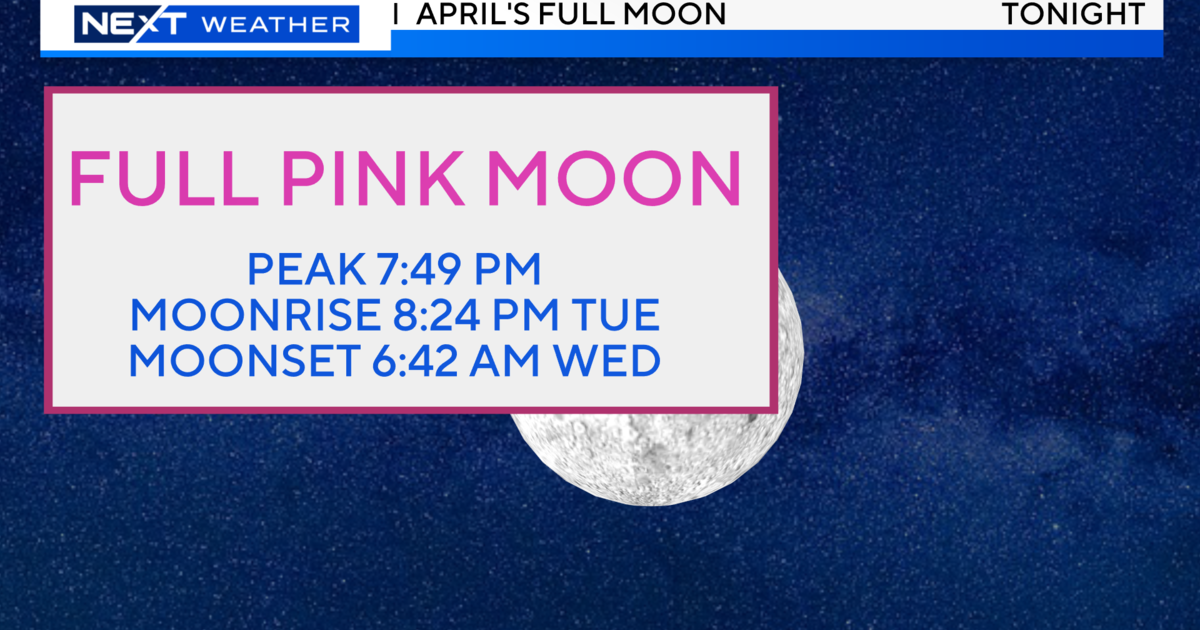
"The fact that it's moving quite rapidly toward shore, bringing with it high winds, plus the motion of the storms, plus high tide tonight, plus the full moon ... gives us great potential for shoreline flooding everywhere from Rhode Island down through at least Delaware," Samson said.
On top of that, said Samson, Sandy is on track to collide with a wintry storm moving in from the west and cold air streaming down from the Arctic.
For the latest forecast updates, keep it tuned to WWJ Newsradio 950 for traffic and weather, every 10 minutes on the 8s. For weather details anytime, click here.
Get continuing east coast coverage at our sister site, CBSNewYork.com.
(TM and © Copyright 2012 CBS Radio Inc. and its relevant subsidiaries. CBS RADIO and EYE Logo TM and Copyright 2012 CBS Broadcasting Inc. Used under license. All Rights Reserved. This material may not be published, broadcast, rewritten, or redistributed. The Associated Press contributed to this report.)


