Winter Weather Advisory In Effect Midnight To Midnight
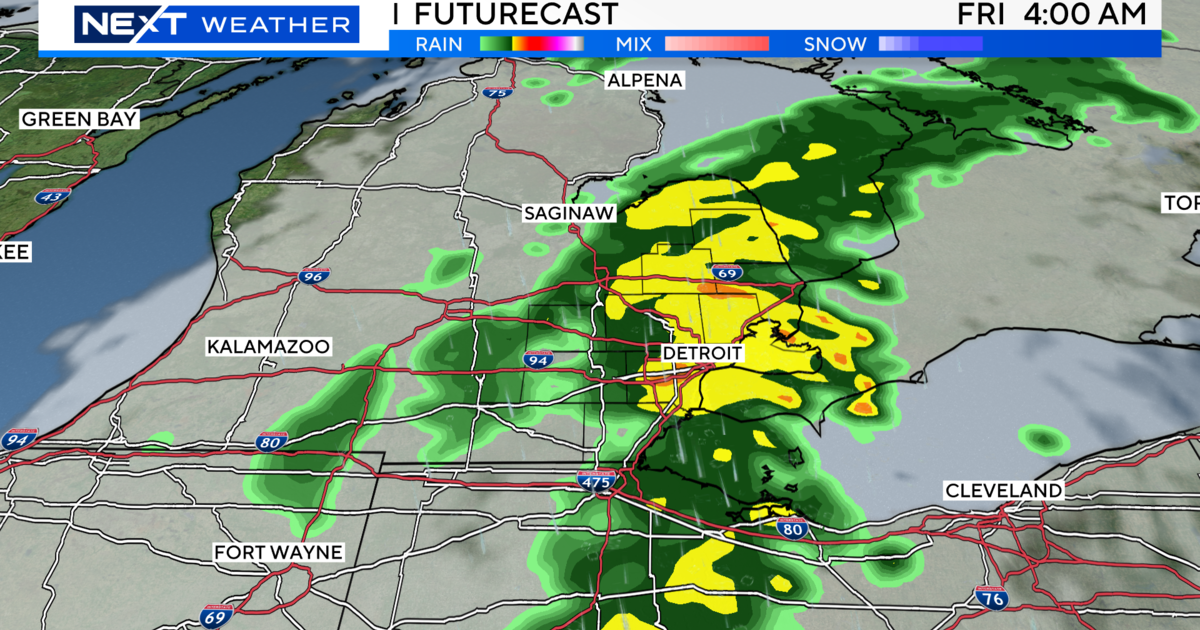
DETROIT (WWJ) - It's time to dust off that snow blower, with three to six inches of snow expected to fall on Metro Detroit, beginning late Friday night.
The National Weather Service has issued a winter weather advisory, in effect for all of Southeast Michigan, beginning at 12 a.m. Saturday through 12 a.m. Sunday.
"We'll probably start to see a little bit of light snow break out between 10 o'clock and midnight; and then after midnight, that's when we'll start to see some steadier snow," said AccuWeather Meteorologist John Feerick, "and then we'll have snow at varying rates on Saturday."
"Travel will be difficult," said Feerick.
Motorists hitting the road Saturday morning should prepare for hazardous conditions.
The National Weather Service says pavement will be snow-covered and slippery, and visibilities will be reduced to as low as a half mile at times. Minor blowing and drifting snow will occur along north-south roads in open areas.
In Oakland County, road commission spokesman Craig Bryson said preparations have already been made for the storm.
"All day long today we've been ... what we call anti-icing, where we spray a liquid brine on the roads that last for quite a while on the road serface," Bryson told WWJ's John Hewett. "And when the snow actually hits, it delays the formation of ice."
Bryson said they have just over 100 salt trucks that will be in use on Saturday. He explained which roads would be treated first.
"Top priority are those with 10,000 vehicles per lane, per day — which is your freeways, Telegraph, Woodward, Southfiled Road, Orachard Lake Road," said Bryson. "Then the next priority — critical one priority — is 2,500 vehicles per lane, per day, and we work down from there."
Bryson said they're asking motorists over the next 30 hours to keep their distance, and don't "crowd the plows."
Areas down toward the Ohio border will likely see the worst of the storm.
Here's the detailed forecast for metro Detroit:
Friday Night: Cloudy with periods of snow after midnight. Low 21F. Winds ENE at 10 to 20 mph. Chance of snow 70%. About one inch of snow expected.
Saturday: Snow during the morning will become lighter during the afternoon. High 24F. Winds ENE at 10 to 20 mph. Chance of snow 80%. Snow accumulating another 1 to 3 inches.
Saturday Night: Light snow in the evening will taper to flurries overnight. Low 17F. Winds N at 10 to 15 mph. Chance of snow 80%. Snow accumulations less than one inch.
Sunday: Partly to mostly cloudy. High around 25F. Winds W at 10 to 20 mph.
Sunday Night: A few clouds. Low 2F. Winds W at 10 to 20 mph.
Monday: Except for a few afternoon clouds, mainly sunny. High 22F. Winds SW at 5 to 10 mph.
Monday Night: Light snow in the evening, tapering to a few snow showers overnight. Low 14F. Winds SW at 10 to 15 mph. Chance of snow 60%. Snow accumulating 1 to 3 inches.
For the up-to-the-minute weather information anytime, tune to WWJ Newsradio 950 for traffic and weather, every 10 minutes on the 8s. Check the local radar and extended forecast now on our weather page.