Another Cold Snap To Follow Heavy Snow In Metro Detroit
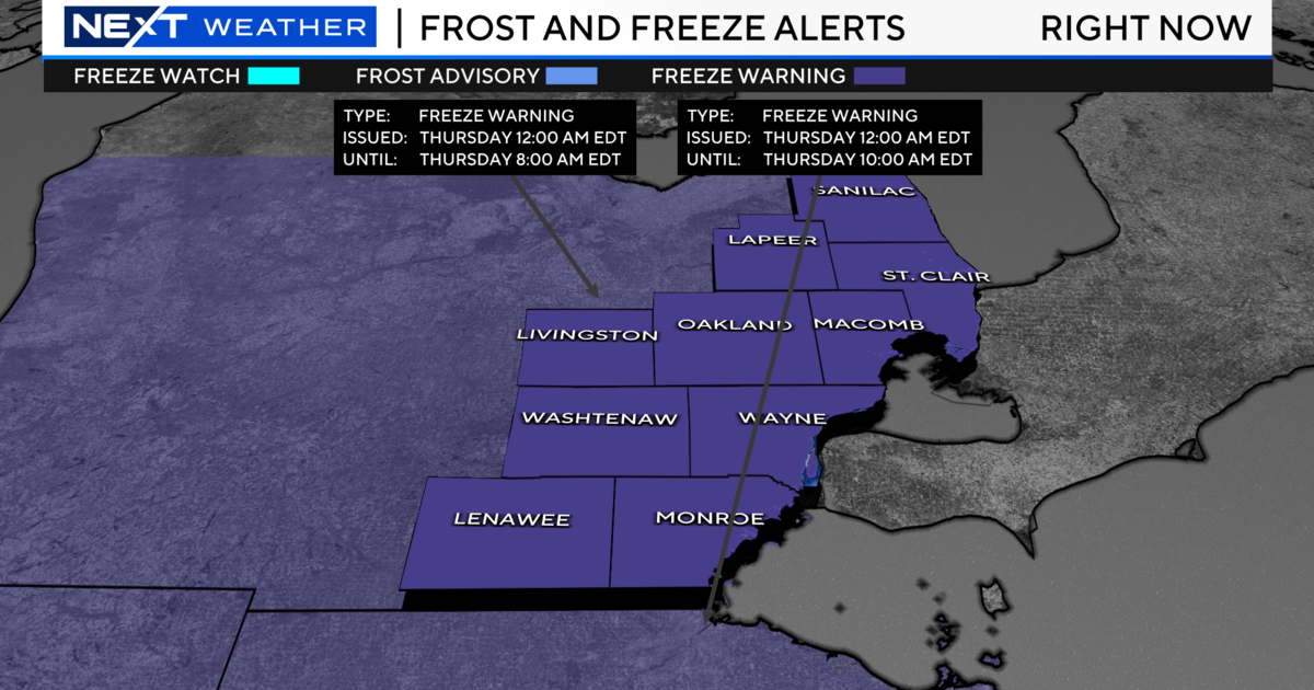
MONROE (WWJ) - Now that the latest round of snow's done falling, forecasters say metro Detroit is due for another extreme cold snap, with lows dipping below zero in many areas Thursday and Friday.
AccuWeather meteorologist Dave Bowers says all of Southeast Michigan can expect mostly dry but frigid weather, straight through Saturday.
Meantime, residents are digging their way out after this week's heavy snowfall.
Eight inches of snow was reported Wednesday in Detroit, Wyandotte, Ypsilanti and throughout Monroe County. Six inches was reported in the Dearborn, Grosse Pointe and Dundee. Five inches was reported in Royal Oak, Pontiac and near Ann Arbor. Four inches fell in Lake Orion, Farmington, and Hell, Michigan.
Because of the snow, all public schools in Monroe County were closed Wednesday. Several other schools around the metro Detroit area closed as well. Afternoon activities were canceled at dozens of schools, and a few schools sent the kids home early. [SCHOOL CLOSINGS: Check The List]
Multiple cities issued snow emergencies for Wednesday. Residents in the following cities could be ticketed and have their vehicle towed if they don't move their vehicles from the street: Allen Park, Berkley, Beverly Hills, Birmingham, Brownstown Township, Canton, Clawson, Dearborn, Eastpointe, Ferndale, Flat Rock, Fraser, Garden City, Hazel Park, Inkster, Livonia, Madison Heights, Oak Park, Plymouth, Riverview, Royal Oak, Shelby Township, Southgate, South Lyon, Trenton, Troy, Warren, Woodhaven, and Westland.
Local road commissions are urging drivers to use "extreme caution," especially in blowing and drifting snow. The peak of the snowfall hit between 8 and 10 a.m. Wednesday, just in time for the heavy morning rush hour. The roads were cleared quite a bit in time the afternoon commute, although surfaces were still quite slick.
Among those making a living out on the roadways is Joel Burnette, a delivery driver who told WWJ this winter one of the worst in his memory.
"Definitely, this has been one of the more challenging winters we've had," Burnette said. "Especially not just with the snow but the cold, too. I'm ready for a break!"
Brunette tells WWJ that he witnessed a near-accident along an icy I-696 in Southfield... calling it a "miracle" that no one was hurt. With continued unseasonably cold temperatures in the forecast -- including lows below zero in many areas Thursday night and Friday -- the worry once again turns to black ice on area roadways.
Monroe County authorities have been asking residents to stay off of the roads, except those who feel it absolutely necessary to drive.
Here's the local forecast from the CBS Detroit weather team:
Wednesday Night: Partly cloudy skies. Frigid. Winds NW at 10 to 20 mph. Low 5F.
Thursday: Partly cloudy skies in the morning will give way to cloudy skies in the afternoon. Frigid. Winds WSW at 10 to 20 mph. High 18F.
Thursday Night: Partly cloudy and bitterly cold; extreme cold can be dangerous for outdoor activities late. Winds WSW at 10 to 20 mph. Low -2F.
Friday: Very cold with times of clouds and sun. Winds SW at 10 to 20 mph. High 13F.
Friday Night: Clear and bitterly cold. Winds SW at 10 to 15 mph. Low -2F.
Saturday: Mostly cloudy and very cold. Winds SSW at 5 to 10 mph. High 19F.
Saturday Night: Cloudy and cold with snow overspreading the area. About 1 inch accumulation. Winds light and variable. Low 11F.
Know before you go: Keep it tuned to WWJ Newsradio 950 for the latest forecast during traffic and weather, every 10 minutes on the 8s. See the live, local radar now at this link.
Sign up for severe weather text alerts: Text STORM to 95001
For daily weather forecast text alerts: Text FORECAST to 95001