"Thundersnow" And Wintry Mix Hit Metro Detroit
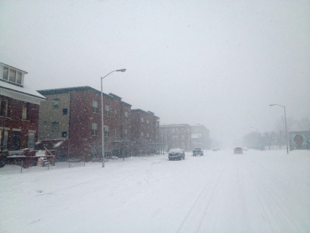
MONROE (WWJ) - Southeast Michigan saw it all weather-wise on Thursday: snow, sleet, rain, thunder, lightning — and it all happened in about two hours.
"All I can say is this weather is nastier than my ex-wives," said one caller to the WWJ Newsradio 950 newsroom. "It's horrible out here!"
Social media was awash with reports of "thundersnow," late Thursday morning, across metro Detroit. A total white out was reported in some areas.
"Is it snowing and thundering anywhere else? It is scary!" wrote Rae in Brighton.
"Thunder snow weeeee," said Maria in Ann Arbor.
"Umm...I thought we were supposed to get only rain today, not a blizzard. Wtf," wrote Courtney, at work in Southfield. [MORE: Social Trend: 'Thundersnow' Weather Phenomenon Strikes Metro Detroit]
A Berkley resident calling the WWJ newsroom reported snow and lighting. "Thundersnow" was also reported by residents in Birmingham, Allen Park, Utica and Wyandotte. Rain with thunder was reported in Woodhaven.
Light snow accumulation led to slippery conditions on some local roads. Motorists traveling I-696 at around noon were reporting speeds reduced to 25 miles per hour.
WWJ AccuWeather Meteorologist John Feerick said this kind of weather does not happen. The worst of it, he said, we'll see around lunch time.
"It is a pretty rare event. Seeing that right now, obviously across much of lower Michigan, at this point," Feerick reported. "A very strong storm system working its way in here, and as we head through the next couple of hours, any snow that we're seeing could go over to probably some rain."
"Roadway conditions may go downhill for a time, and then should improve later on this afternoon, and there could still be a thunderstorm this afternoon," Feerick said, adding that temperatures will rise into the 40s.
The National Weather Service has issued High Wind Watch, in effect for the entire region Thursday. A High Wind Advisory goes into effect at midnight, which a potential for wind gusts above 50 mph.
A Winter Weather Advisory also remains in effect for Livingston, Macomb, Oakland and St. Clair counties through 4 p.m. Thursday. Melting snow and rain could cause flooding in areas where temperatures are above freezing.
DTE Energy Spokesperson Erica Donerson said crews are on alert.
"We're primarily concerned about the wind," she said. "Because, of course, when the wind starts blowing that can take down tree limbs which can take down power lines, and than can also knock down trees."
Donerson warns customers to use caution to avoid any downed power lines.
Here's the local forecast from the CBS Detroit weather team:
Thursday: A wintry mix in the afternoon. Snow and ice accumulating 1 to 3 inches. High 44F.
Thursday Night: Rain and a thunderstorm this evening; plenty of clouds; storms can bring damaging winds. Low 34F.
Friday: Partly cloudy skies, with gusty winds developing during the afternoon. Periods of clouds and sunshine with a snow shower. High 38F.
Friday Night: Mainly clear and windy. Low 27F.
Saturday: Windy with periods of clouds and sunshine. High 34F.
Saturday Night: Considerable cloudiness. Low 21F.
Sunday: Breezy with intervals of clouds and sunshine. High 30F.
Sunday Night: Clear to partly cloudy. Colder. Low 15F.
Know before you go: Keep it tuned to WWJ Newsradio 950 for the latest forecast during traffic and weather, every 10 minutes on the 8s. See the live, local radar now at this link.
Sign up for severe weather text alerts: Text STORM to 95001
For daily weather forecast text alerts: Text FORECAST to 95001