Severe Storms Headed For Metro Detroit Could Cause Flooding
DETROIT (WWJ) - Another round of severe weather is headed for metro Detroit as communities continue cleaning up from last week's record-breaking storms.
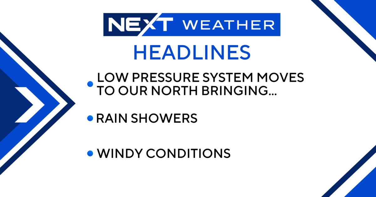
Forecasters say storms moving into the area Tuesday afternoon have the potential to bring heavy rain and flooding. The storms could also produce wind gusts of 60 miles per hour and hail up to an inch in diameter.
The National Weather Service issued a Severe Thunderstorm Watch, in effect until 9 p.m. for Oakland, Macomb, Wayne, Monroe, Livingston, Washtenaw counties. In addition, a Flash Flood Watch in effect until 10 p.m. For Wayne, Oakland, Macomb, Washtenaw counties.
[Check for the latest weather alerts HERE].
CBS 62 Chief Meteorologist Jim Madaus said temperatures will be right around 80 degrees with partly sunny skies before the storms move in.
"Around 5:30 p.m. for the drive home, there's scattered showers and storms in the area. As we go through the evening, those storms will hang around," he said.
Conditions should clear up overnight, but Madaus said the threat of thunderstorms is going to hang around for a little while.
"We'll stay in the low 80s through the entire week and even into the weekend, but there's a slight chance for storms and showers just about every day," Madaus said.
The rain comes just over a week after torrential storms dumped a record amount of rainfall on the Detroit area. The storms left five major freeways under several feet of water, forcing thousands of people to abandon their water-logged cars. Tens of thousands of homes across the metro area were flooded, some with several feet of water in the basements.
The city of Detroit has set up two locations where residents who experienced flood damage can receive information on financial assistance, social services, hiring restoration contractors, obtaining construction permits and health information. The centers will be open from 8 a.m. to 4 p.m. from Tuesday, Aug. 19 through Friday, Aug. 22.
- Farwell Recreation Center -- 2781 E. Outer Drive -- 313-628-2028
- Adams/Butzel Complex -- 10500 Lyndon -- 313-628-0990
.
Here's the local forecast from the CBSDetroit weather team:
Tuesday: Clouds and sun with a couple of showers and a thunderstorm, mainly later; more humid. High 82F.
Tuesday Night: A shower in places this evening; otherwise, mostly cloudy and humid. Low 66F.
Wednesday: Clouds and breaks of sun; humid with a shower or thunderstorm around. High 80F.
Wednesday Night: A shower or thunderstorm in spots in the evening; otherwise, partly cloudy and humid. Low 62F.
Thursday: Periods of clouds and sunshine with a shower or thunderstorm around; humid. High 83F.
Thursday Night: Considerable clouds and humid with showers. Low 66F.
Friday: Periods of clouds and sunshine with a shower or thunderstorm around; humid. High 82F.
Friday Night: Humid; a couple of evening thunderstorms around followed by a shower in spots late. Low 67F.
Saturday: Humid with intervals of clouds and sunshine. High 84F.
Saturday Night: Partly cloudy and humid. Low 68F.
Know before you go: Keep it tuned to WWJ Newsradio 950 for the latest forecast during traffic and weather, every 10 minutes on the 8s.
Sign up for severe weather text alerts: Text STORM to 95001
For daily weather forecast text alerts: Text FORECAST to 95001