New Year's Forecast: Cold Settles In, Snow Coming To Metro Detroit
DETROIT (WWJ) - If you're heading out to celebrate the New Year Wednesday night, you'll want to bundle up -- and keep those winter coats handy because snow is making its way to southeastern Michigan.
Forecasters say temperatures Wednesday will barely break the 20 degree mark and with wind gusts up to 25 mph, those temperatures are going to feel no higher than the single digits. Flurries are also expected on and off throughout the day.
When the ball drops in Detroit at midnight, the temperature is expected to be around 17 degrees but forecasters say it will actually feel more like -- get ready for it -- 10 degrees below zero.
The first day of 2015 should be mainly sunny with a few flurries and a high around 30 degrees. Snow is expected overnight, but only enough to leave a light coating the ground.
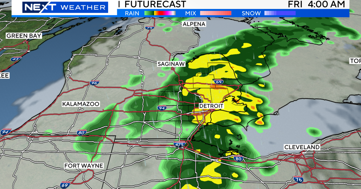
The big snow will come on Saturday when a wintry-mix moves over metro Detroit, leaving accumulations of 2 to 5 inches in some places before Sunday morning.
Things are going to feel even colder as we go into next week, with highs on Monday only in the upper teens.
Here's the local forecast from the CBS Detroit weather team:
Wednesday: A mix of clouds and sun. High 22F. Winds WSW at 15 to 25 mph.
Wednesday Night: A few passing clouds. Low 17F. Winds WSW at 15 to 25 mph.
Thursday: Partly cloudy. A few flurries are possible. High near 30F. Winds WSW at 15 to 25 mph.
Thursday Night: Partly cloudy skies early, then some snow showers later at night. Low 24F. Winds WSW at 10 to 20 mph. Chance of snow 40%.
Friday: Partly cloudy skies in the morning will give way to cloudy skies during the afternoon. High 32F. Winds W at 10 to 15 mph.
Friday Night: A few clouds from time to time. Low 23F. Winds light and variable.
Saturday: Partly cloudy early with a wintry mix expected to move in in the afternoon. High 34F. Winds SE at 10 to 15 mph. Chance of precipitation 100%. 1 to 3 inches of snow and ice expected.
Saturday Night: Cloudy with snow. Low 32F. SE winds shifting to W at 10 to 15 mph. Chance of snow 100%. Snow accumulating 3 to 5 inches.
Sunday: Cloudy and windy. High 34F. Winds W at 20 to 30 mph.
Sunday Night: Cloudy skies early, followed by partial clearing. Low 8F. Winds W at 15 to 25 mph.
Monday: Intervals of clouds and sunshine. High 19F. Winds W at 10 to 15 mph.
Monday Night: A few clouds. Low 8F. Winds WSW at 5 to 10 mph.
Know before you go: Keep it tuned to WWJ Newsradio 950 for the latest forecast during traffic and weather, every 10 minutes on the 8s. See the live, local radar now at this link.
Sign up for severe weather text alerts: Text STORM to 95001
For daily weather forecast text alerts: Text FORECAST to 95001