Forecast Calls For Measurable Snow In Metro Detroit This Weekend
DETROIT (WWJ) - "Ugliness here over the next few days."
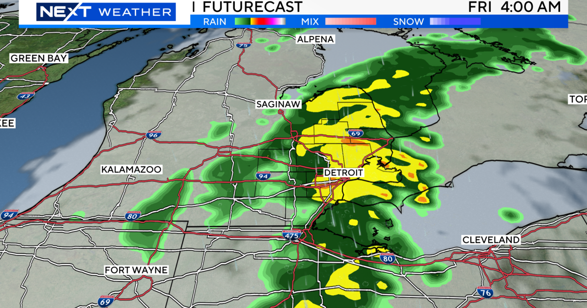
That's how WWJ AccuWeather Meteorologist Dean Devore summed up what to expect in the form of cold, rain and yes, more snow, Thursday and into the weekend in metro Detroit.
Following a cold, wet, and generally miserable Thursday (with some flurries in the mix) Devore says the balk of the snowfall is expected to hit, with some sticking stuff, late Friday.
For those with weekend travel plans — you'll want to keep an eye on road conditions Friday night into Saturday.
"We're looking at periods of snow tomorrow night — that's when the coldest air and that upper level feature comes across," Devore said. "Maybe a coating of an inch or two and slippery conditions." Suburbs to the west and north of Detroit could see a little more.
Devore said those out and about on Saturday should watch out for slick spots. There could be a little bit of sun, but with a high temperature reaching only around 36 degrees, it's no guarantee what's on the ground will melt away too quickly...before yet another coating of snow expected Sunday, transitioning to rain into Monday
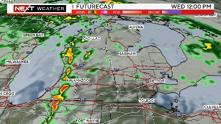
Backtracking a bit, there is a spot of good news: For those headed downtown for Detroit Tigers Opening Day, it looks like the rain may not start to fall until toward the end of the game.
Here's the detailed forecast from the CBS Detroit weather team:.
Monday Night: Rain showers early with clearing later at night. Low 32F. Winds WNW at 10 to 20 mph. Chance of rain 40%.
Know before you go: Keep it tuned to WWJ Newsradio 950 for the latest forecast during traffic and weather, every 10 minutes on the 8s. See the live, local radar now at this link.
Sign up for severe weather text alerts: Text STORM to 95001
For daily weather forecast text alerts: Text FORECAST to 95001