Severe Thunderstorm Watch In Effect For Listening Area
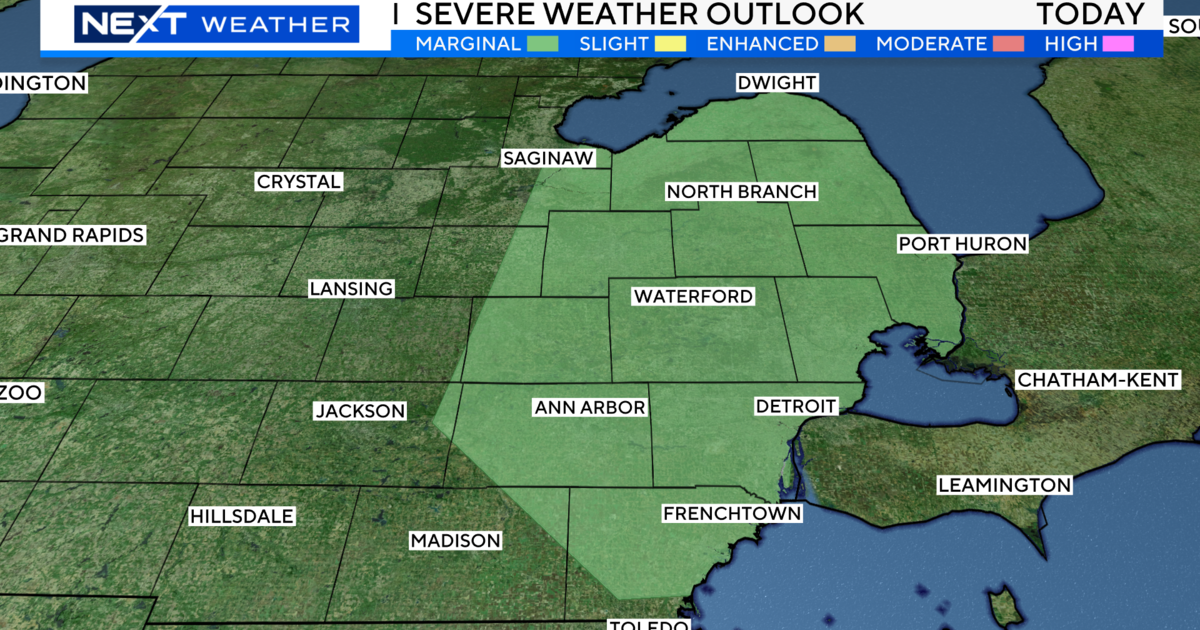
DETROIT (WWJ) - A Severe Thunderstorm Watch is in effect for Lenawee , Livingston , Macomb , Monroe , Oakland , Washtenaw , and Wayne counties.
A Severe Thunderstorm Watch means conditions are favorable for severe thunderstorms in and close to the watch
area. Persons in these areas should be on the lookout for threatening weather conditions and listen for later statements
and possible warnings. Severe thunderstorms can and occasionally do produce tornadoes.
A warning... on the other hand... means a severe thunderstorm or tornado has been observed or indicated by radar. People in the path of the storm should take immediate precautions as outlined here.
Severe thunderstorms produce strong damaging winds of 58 mph or greater... large hail three quarters of an inch in diameter or
greater... heavy rain and deadly lightning. Winds in excess of 58 mph can push over shallow rooted trees... break off tree limbs about
the size of your wrist... and damage chimneys and TV antennas.
In rare occasions severe thunderstorms can produce winds in excess of 80 mph which could break windows... Peel surfaces off of roofs... snap large trees and move trailer homes and automobiles. Hail three-quarters of an inch in diameter or larger can damage windows... vehicles... and exterior finishes of buildings... especially if accompanied by severe winds.
Persons should stay indoors and away from areas with loose items that could become flying debris. Severe thunderstorms can and
occasionally do produce tornadoes so be prepared to move to an appropriate shelter should it become necessary. Lightning is one
of the worst killers... so stay indoors and avoid using electrical appliances. You should get out of open fields and off of farm or
other types of heavy equipment. Avoid towers or tall trees. If on a boat or swimming... get out of the water and to shore as quickly as possible. Also avoid areas subject to flash flooding.
If you lose power... and plan to use a portable power generator in your home be careful. Observe all safety precautions to avoid
Carbon monoxide poisoning... electrocution... or a fire. Portable generators should only be operated outdoors in a dry and well
ventilated area.
- The Three Day Forecast Details from the Weather Team -
Tuesday Night - Cloudy. Thunderstorms likely. Large hail...and damaging winds possible through 2 am. Lows 71 to 75. South winds 5 to 15 mph...turning to west late. Chance of rain 70 percent.
Wednesday - Mostly cloudy early...then gradual clearing. A slight chance of light showers...ending around 2 PM. Highs 81 to 85. Northwest winds 10 to 15 mph...turning to north. Chance of rain 20 percent.
Wednesday Night - Clear. Lows 65 to 69. North winds 5 to 15 mph.
Thursday - Mostly sunny. Highs 84 to 88. Northeast winds 5 to 10 mph...turning to east.
Thursday Night - Partly cloudy. Lows 66 to 70. East winds 5 to 10 mph...becoming light and variable.
For the latest weather information, be sure to stay with WWJ Newsradio 950 during Traffic and Weather on the 8s, 24-hours a day.
**Sign up for severe weather text alerts! Text STORM to 95001. For a daily forecast text message each morning, text FORECAST to 95001**