Sweltering Heat, Severe Storms In Store For Friday
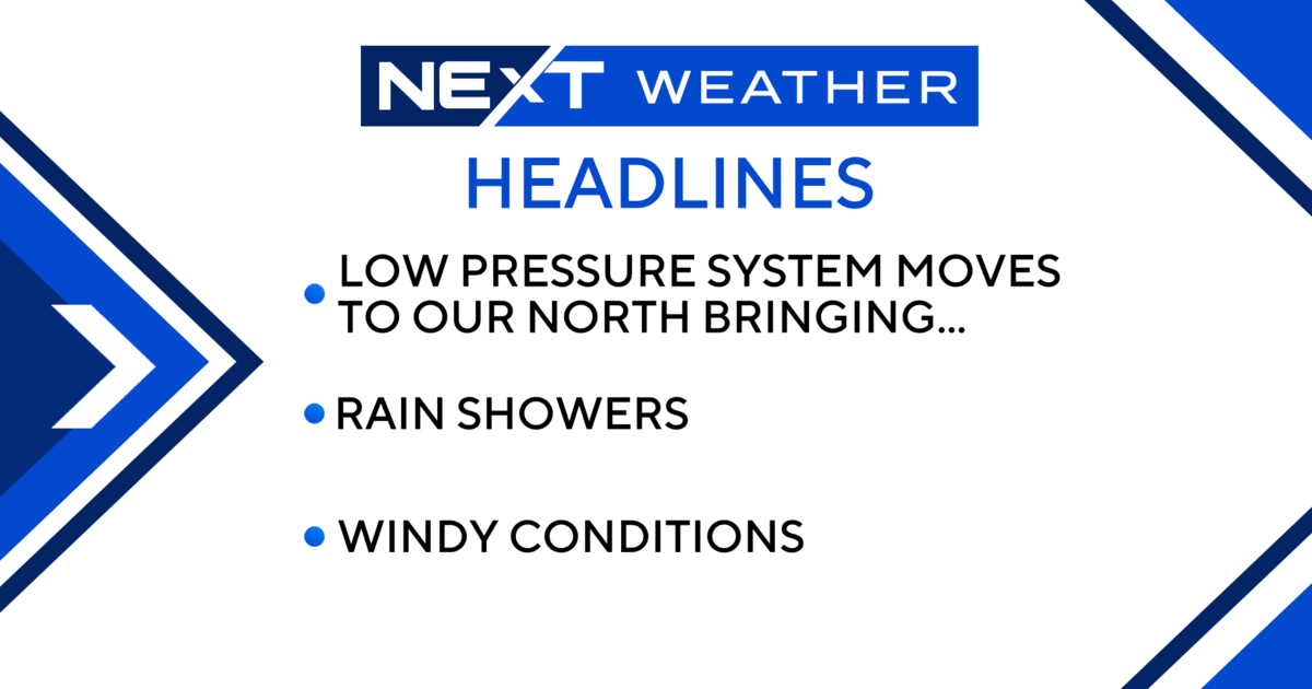
DETROIT (WWJ) - Forecasters say a weather system moving over metro Detroit Friday could bring strong thunderstorms that might cause flooding in some areas.
The National Weather Service said the storms should hit sometime between 2 p.m. and 10 p.m. Friday.
CBS 62 Chief Meteorologist Jim Madaus said the storms are expected to pack quite a punch, with damaging wind gusts up to 60 miles per hour and 1-inch diameter hail.
"Some of those storms can be strong with heavy rain and could cause flooding, especially in low-lying areas," Madaus said.
[Check for the latest weather alerts HERE]
A second round of thunderstorms is possible overnight, especially south of the M-59 corridor.
Before the storm hits, things are going to be hot and humid, Madaus said, with heat index values are expected to climb into the low to mid 90s by Friday afternoon.
Here's the local forecast from the CBS Detroit weather team:
Friday: A t-storm in spots in the a.m.; showers and a heavier t-storm in the p.m.; watch for flash flooding. High 90F.
Friday Night: Mostly cloudy with a couple of showers and a thunderstorm. Low 62F.
Saturday: A morning shower in the area, then becoming less humid; cooler. High 74F.
Saturday Night: Clear and cool. Low 53F.
Sunday: Nice with plenty of sunshine. High 75F.
Sunday Night: Clear. Low 53F.
Monday: Nice with plenty of sunshine. High 76F.
Monday Night: Clear. Low 58F.
Tuesday: Partly sunny with a shower or thunderstorm around in the afternoon. High 78F.
Tuesday Night: Mostly cloudy with a shower in the area. Low 62F.
Know before you go: Keep it tuned to WWJ Newsradio 950 for the latest forecast during traffic and weather, every 10 minutes on the 8s.
Sign up for severe weather text alerts: Text STORM to 95001
For daily weather forecast text alerts: Text FORECAST to 95001