Wet Weather, Flooding To Continue Through Weekend
DETROIT (WWJ) - It's been a week full of wet, winter weather and it doesn't seem to be stopping any time soon.
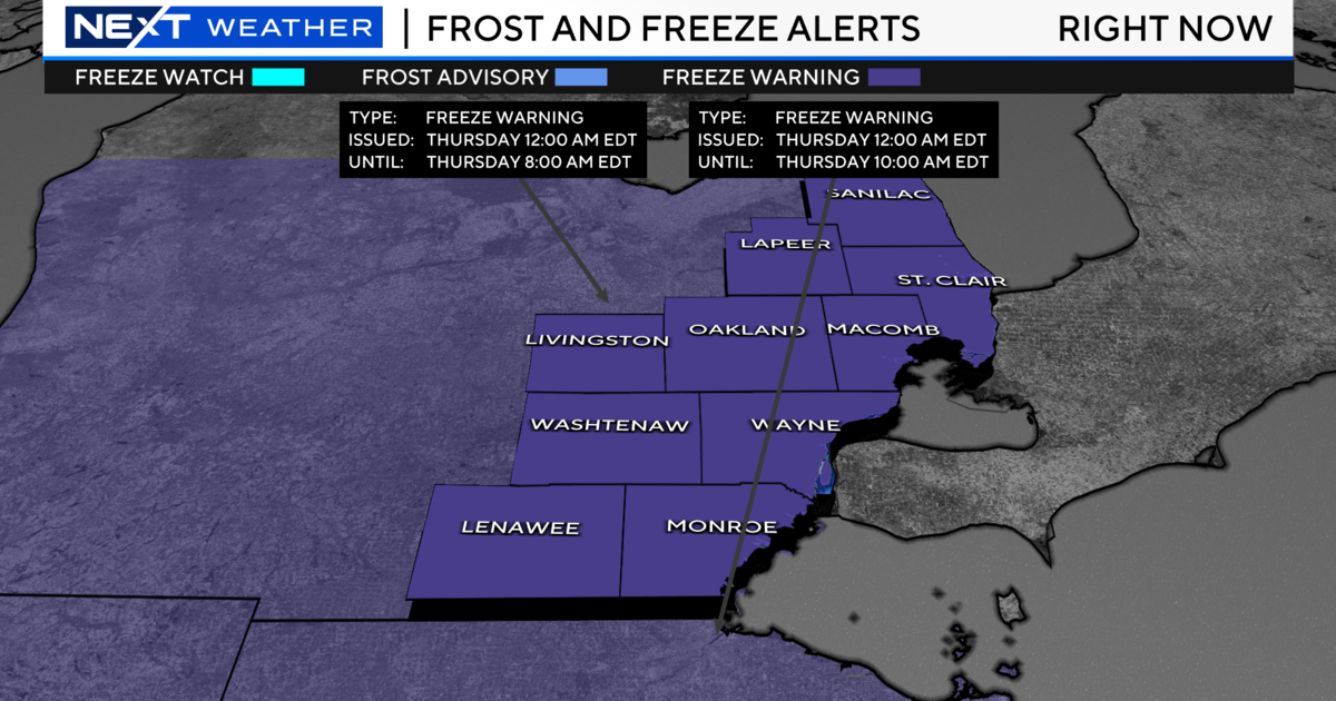
AccuWeather's Dean DeVore said temperatures in the western and northern Metro Detroit suburbs dropped below freezing Thursday night, causing some slick road conditions for morning commuters.
WWJ's Mike Campbell said road commission crews in Oakland County were loading up their salt trucks for a preemptive strike against the early morning snow.
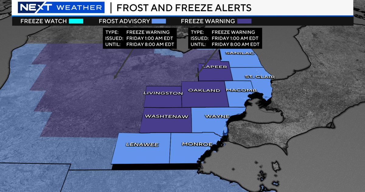
But the snow won't likely stick around, as DeVore said we could expect to see some sunshine by Friday afternoon.
Saturday should be a decent, sunny day with temperatures in the mid to high 40s. But, Mother Nature is going to rain on that parade in the evening with showers that are expected to extend overnight.
The rain should taper off by Sunday evening, but that doesn't relieve some areas of a Flood Warning, which will be active for Lenawee, Livingston and Monroe counties.
The National Weather Service says flooding that damaged buildings and closed roads along the River Raisin in southeastern Michigan is expected to continue through the weekend.
A flood warning is still in effect along the river at Dundee -- where floodwaters are expected to crest this afternoon. Much of the small community is underwater.
"MDOT decided to close the M-50 bridge over the River Raisin. We are over the minor flood stage and are predicted to crest Friday night, Saturday morning," said Dundee Village Manager Julius Suchy.
Floodwaters caused the closure of two Dundee schools as well as the city's post office, which had water up to its windows Thursday. The post office has moved to Ida until further notice.
Across Monroe County, the road commission says it is out of "road closed" and "high water" signs.
The River Raisin was expected to remain above flood stage until Sunday at Monroe, where it flows into Lake Erie. The weather service said the river should fall below flood stage Sunday evening.
Flooding was also reported along the Huron River near Hamburg in Livingston County. The river is expected to rise above flood stage by Friday afternoon, and crest around 6.9 feet early Sunday morning.
Forecast details from the WWJ Weather Team:
Friday - Mostly cloudy early...then gradual clearing. Highs 36 to 40. North winds 5 to 10 mph...turning to east...then becoming light and variable.
Friday Night - Clear...becoming partly cloudy toward daybreak. Lows 24 to 28. Light and variable winds...becoming southeast 5 to 10 mph.
Saturday - Partly sunny...becoming mostly cloudy during the afternoon. Highs 43 to 47. South winds 5 to 10 mph.
Saturday Night - Mostly cloudy. A chance of rain showers from late evening on. Lows 38 to 42. South winds 5 to 15 mph. Chance of rain 40 percent.
Sunday - Cloudy. Showers likely during the morning...then a chance of showers. Highs 46 to 50. South winds 10 to 20 mph. Chance of rain 70 percent.
Sunday Night - Mostly cloudy during the evening. Partly cloudy overnight. A chance of rain and snow showers. Lows 34 to 38. Chance of precipitation 30 percent.
Keep it tuned to WWJ Newsradio 950 for traffic and weather reports around the clock on the 8s.
More: Traffic Weather School Closings
**Sign up for severe weather text alerts: Text STORM to 95001.
For a daily weather forecast alert: Text FORECAST to 95001.**