Severe Weather Possible After Days Of Sweltering Heat
DETROIT (WWJ) - Metro Detroit is finally getting some relief from its days-long 90 degree heat wave, but with that comes a chance of severe weather.
The National Weather Service says there's a marginal to slight risk of severe storms along and south of I-96 on Wednesday, mainly after 4 p.m. Isolated showers and weaker storms are possible earlier in the day.
Primary hazards are large hail up to one inch and heavy rainfall, with water pooling on roads. There's also a chance for wind damage, with gusts around 40 miles per hour.
Here's the local forecast from the CBS Detroit weather team:
Wednesday -- Considerable cloudiness. A stray shower or thunderstorm is possible with scattered storms overnight. High 83F. Low 67F.
Thursday -- Mostly cloudy early. Scattered thunderstorms developing later in the day. High 87F. Low 66F.
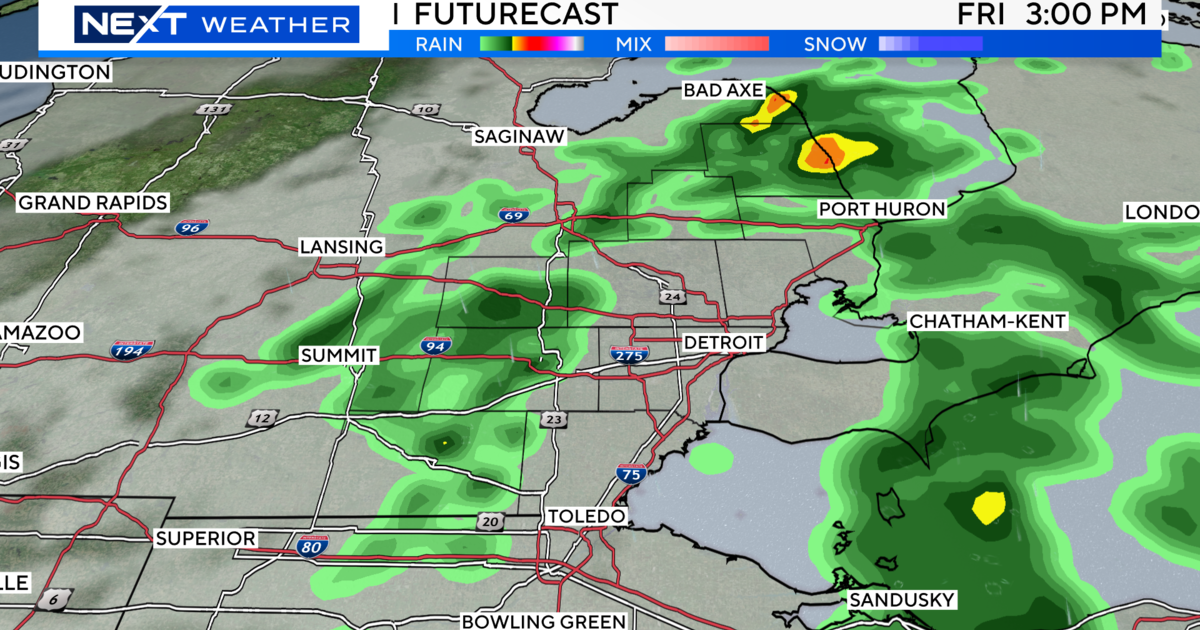
Friday -- Sun and clouds mixed with a slight chance of thunderstorms during the afternoon. High 89F. Low 71F.
Saturday -- Partly cloudy early with thunderstorms becoming likely during the afternoon. High 88F. Low 73F.
Sunday -- Thunderstorms likely in the morning. Then the chance of scattered thunderstorms in the afternoon. High 84F. Low 62F.
Monday -- Cloudy with occasional rain showers. High 76F. Low 58F.
Know before you go! Keep it tuned to WWJ Newsradio 950 for the latest forecast during traffic and weather, every 10 minutes on the 8s. See the live, local radar now at this link.